As mentioned in our recent Newsletter Sygma Solutions, who are based in Westhoughton, have offered the use of their Ground Penetrating Radar machines to survey local heritage sites. This includes free training, so last Monday a team of 5 (myself, Eric, Neil, Darren and Andy) went to their office in Daisy Hill for a morning’s training session. We were met by Mike Langton, who is not only their chief trainer but also teaches GPR to archaeological students at Bradford University (in fact he has appear on a number Time Team episode). He explained that the course normally took 3 days but as we were already familiar with geophysic techniques, our abridged course should be sufficient. The machines they are making available for us, use the latest technology and are capable of producing 3D images in the field. Additionally, if necessary, the data can be downloaded and they will ‘post-process’ it for us with their sophisticated software.
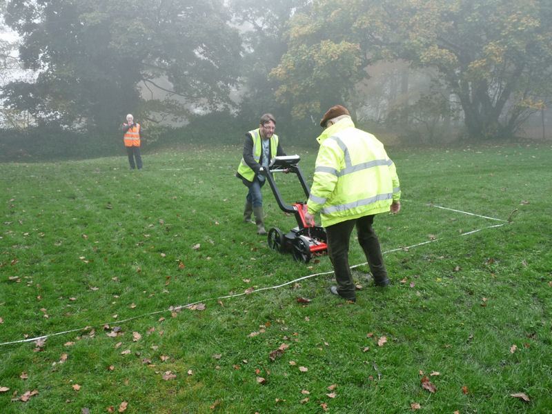
After lunch, with the knowledge gained, we made our way to Haigh Hall where we had previously obtained permission to carry out a demonstration of the equipment. The area selected was on the terrace between the Stables Cafe and the Hall.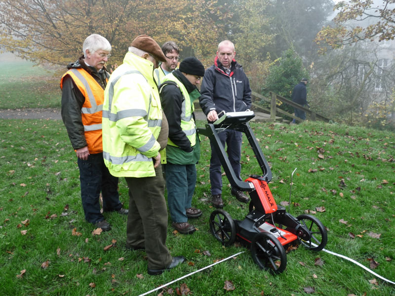 Mike explained that the unit is capable of ‘seeing’ up to 8 metres deep depending on ground conditions but in general 2.5 metres gives best result. After some general prospecting Mike showed us how to mark out a 10m x 10m grid and proceeded to carry out the survey (readings are taken every 5cm with scan run spacing of 50cm).
 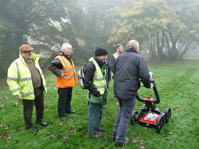 After a while he left us to it and we completed the survey (which included a second scan at 90 degrees to the first) in about an hour.
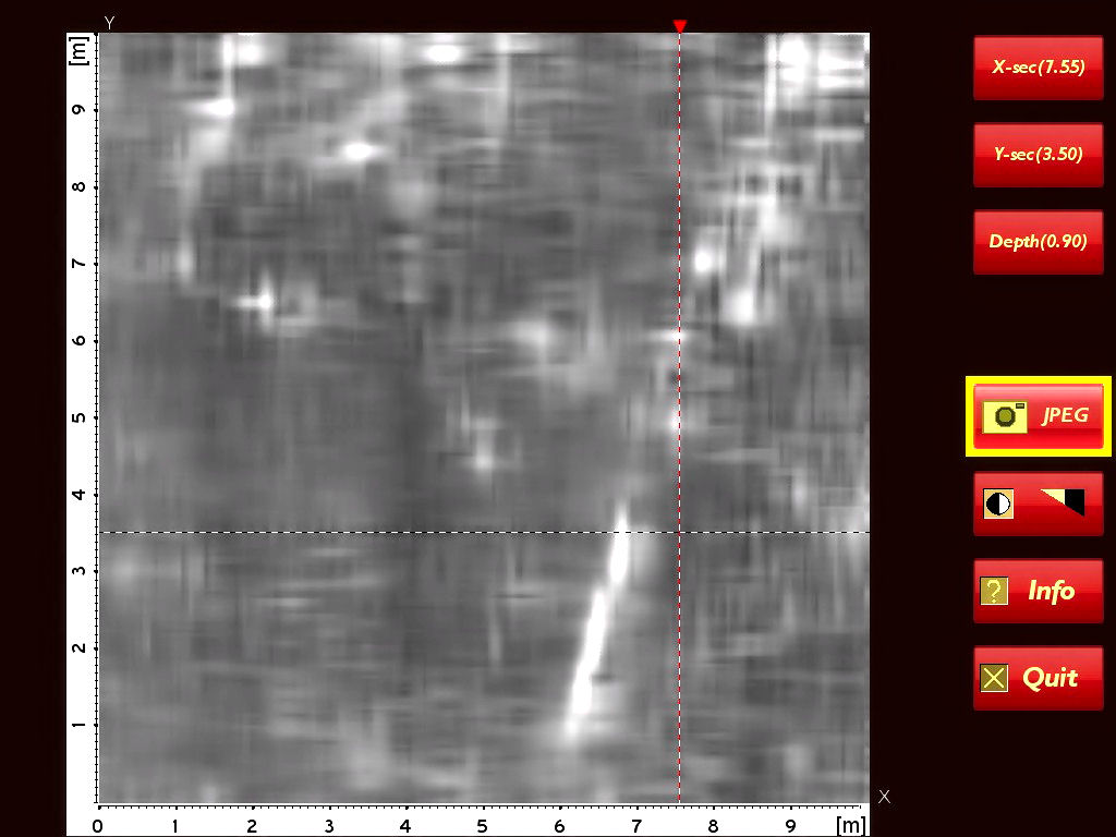
 The reason we had selected this particular area for the survey was that a desk-based assessment done by the GMAU a few years ago had indicated buildings here prior the building of the Stable block in the mid 19th century – and indeed the results showed structural remains at various depths from 30cms to just over a metre. The scan shown below is at 90cm, which was typical with a strong feature (maybe a wall) running at an angle to our gridlines and a structural feature running perpendicular to it.
We are now quite familiar with the equipment and, given the opportunity, we would be able to complete a full survey of the area. This would give us a comprehensive picture of the archaeology in a area which maybe subject to development in the near future. We would like to thank Peter Ashcroft of Sygma Solutions for organising the day and Wigan Council for allowing us on site.
While on site we were join by Patrick and after the survey he suggested we take a look at some ruins he’d spot alongside the path leading into the plantations (maybe it was the reputed summer house shown on early paintings and engravings)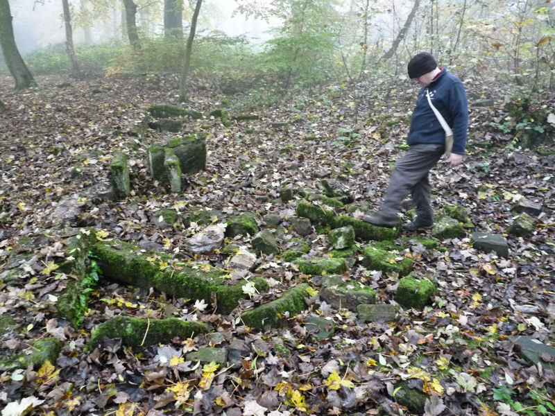 A tape measure showed the remains to cover an area over 15 metres long (50 feet) with features such as stone window frames and stone box structures. On the OS map of 1893 the ruins are marked as Park Cottages – they are also shown on the 18th century estate map therefore must be of some age. The suggestion is that they would make a good subject for a future surveying project.
