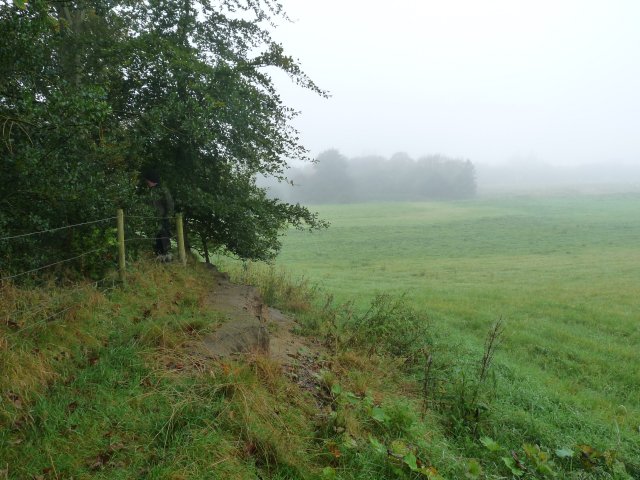
On a misty morning Last Sunday Andy Wilock and I visited a site on the edge of Chat Moss near Glazebury. We were invited there by Marlene Nolan of Culcheth History Society who had spotted the site while field walking. It seemed to her to be some kind of defensive earth work lying at a strategic point on the banks of the River Glaze. You may be wondering why she asked us to look at this site so far away from Wigan – but, surprising as it may seem, quite a lot of Chat Moss does lie within the Wigan Metro Borough.
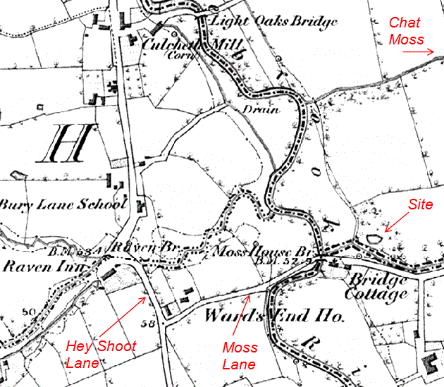
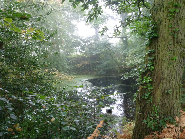
The site is located north of Moss Lane which branches off Hey Shoot Lane about 200m east of the River Glaze near the Raven Pub. It’s surrounded on three sides by a large bank with a ditch on the south side. The interior is flooded up to a point where a cut in the bank allows the water to escape. 
Judging from the maturity of the trees we perceive the site must be at least a 200 or 300 years old but a quick check on the 6″ OS map of 1846 gives no indication of its origin. The history of the area suggests a possible Civil War connection as apparently there was a large skirmish in the vicinity. Another slight possibility is that it could be much older as an Iron Age site had been discovered a few years ago only about one mile south of this one.
More likely however it’s the product of some pre-Victorian industrial activity such as sand, stone or clay extraction – a trench across the embankment may give the answer but whether we’d get permission is another thing.

Hi
I was wondering if you can help me.
On your map you show a corn mill in Culcheth
Was this Peters Corn mill as I am trying to find out information about it.
My great grand father worked there
Many thanks
Geoff Rossiter
Hi
I was wondering if you can help me.
On your map you show a corn mill in Culcheth
Was this Peters Corn mill as I am trying to find out information about it.
My great grand father worked there
Many thanks