Wednesday 3rd December. Our speaker this month is Steve Hewitt who used to run the Geology Department at Wigan Technical College. He also taught Archaeology to ‘O’ level standard there. His talk therefore is not surprisingly entitled ‘The Geology of Archaeology’. Bound to be a great talk.
Monthly Archives: November 2014
Haigh Canal and Railway
Sunday 23rd November. A few weeks ago Trevor Boardman from the Greenheart Project contacted our Society asking about our knowledge of the Leyland Mill Iron Works (Haigh Foundry) and in particular the canal and railway that linked it to the coalfields around Whelley. I had heard of their existence but had no idea where they ran or if there was still evidence on the ground. His offer to show us the routes of these early transport links therefore, was an opportunity we couldn’t miss. So at quite short notice a field trip was quickly arranged.
The few of us who could make it met with Trevor at the Plantation Gates in Whelley. This is just south of the where the Whelley Loop line used to cross the main road to Aspull. Dismantled and made into a public footpath, this line originally opened in the late 19th century creating a by-pass from the L & Y line to the Northwest main line. Our tour started here as the construction of the line has destroyed any evidence of the canal and railway anywhere east of this point.
We weren’t long into our walk when Trevor showed us the first evidence of the canal – a ditch halfway up the side of the embankment. I must admit it wasn’t convincing but as we progressed further down the path and crossed the tarmac road leading to the hall, we found ourselves on a level metalled track. This did look like the embankment of a railway but the ditch running along side did not look particularly canal-like (it could have been just a depression caused by the embankment). However as we progressed along the track, a bank started to develop separating the railway from the ditch. The ditch was also getting wider and thus more convincing as a canal.
Rounding the next bend the canal feature seemed to take a shortcut through a cutting, the rail track however taking a wider sweep. Further on the track began to separate from the canal and started to go downwards on a gentle slope. The canal however remained level. After a short while the canal ditch ended up in a small body of water which was held back by a dam with a foot bridge over it. This was obviously the source of the water for the canal. 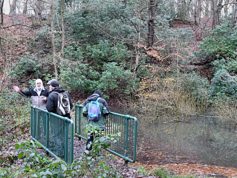 On the other side of the water the canal continued and any doubt that it was a canal was removed as it was now full of water.
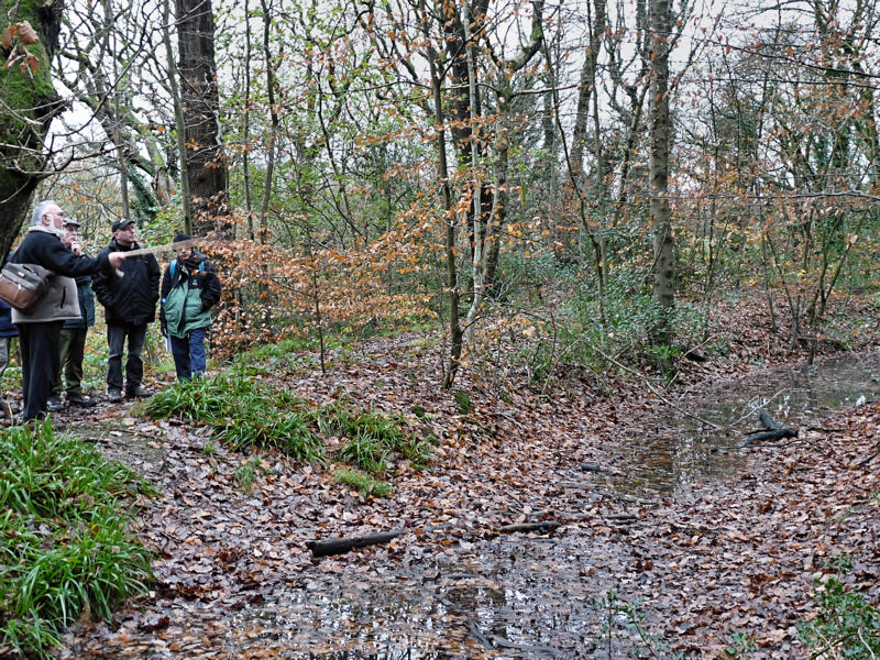
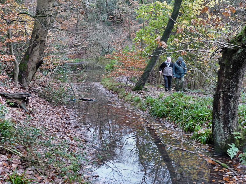 After passing a disused stone quarry, we eventually we arrived at our destination i.e. Leyland Mill which is now occupied by industrial units. Here the canal stops abruptly as a steep precipice overlooking the mill site prevents it progressing any further. Material would have to be unloaded from the barges here and lowered down to the factory site. In the distance we could see the bridge carrying Leyland Mill lane and beyond more factories some dating to the 19th century.
 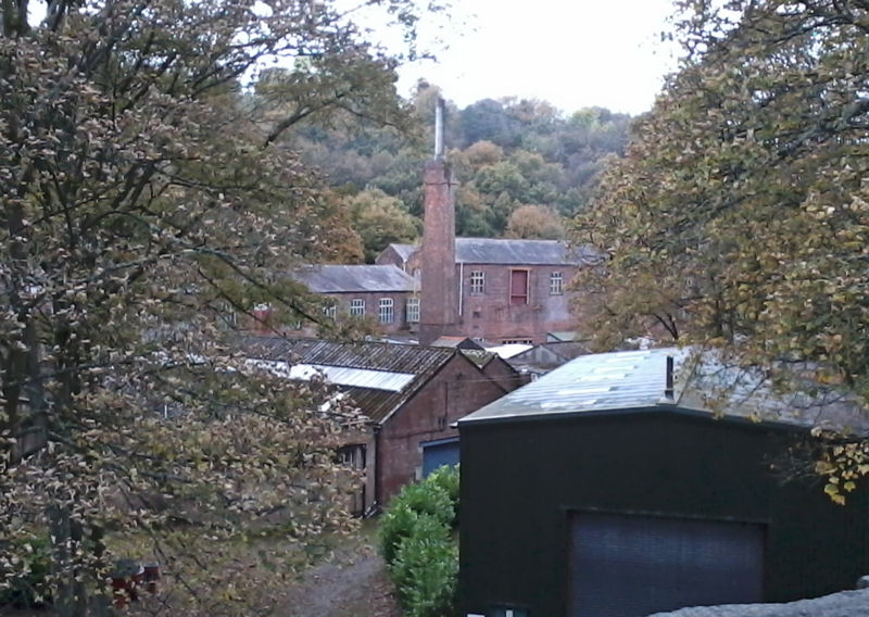 The major mill buildings from the days of the foundry no longer exist but there other buildings and workshops that have survived.
Lord Lindsay, the Earl of Balcarres, established his Iron Works here in 1788 running two blast furnaces and a cupula furnace for re-melting the scrap iron. There were also forges here and also at Brock Mill just a few hundred metres up stream. The theory is that the canal was built to supply the foundry with the quantities of coal required for the smelting and forging. At some point in time the railway line was added to replaced the canal as it was able to run into the works thus avoiding the steep precipice. Smelting ended on the site sometime before 1815 but the engineering works continued until the mid 19th century. It would become well know for producing steam engines and other machinery including the famous Laxey Wheel on the Isle of Man.
The canal and railway are fascinating rare fragments Wigan’s early industrial heritage predating the huge Kirkless Iron Works site by over 70 years. In deed when Haigh Hall was rebuilt in the mid 19th century the estate was landscaped and planted with the ubiquitous rhododendrons – thus sweeping away much of the eyesores left by the many years of intensive coal mining. Studying the 1849 6 inch OS map shows that, apart from the small body of water, there is no sign of the canal or the railway. We are very lucky therefore that evidence for them still survives.
A good project for the Society would be to survey the route properly producing an accurate map (a surveyed was carried out by Donald Anderson when the features were first identified. However this was a height survey to establish that the canal was in deed level and the inclination for the railway wasn’t to great. If we could get permission to dig we could also answer other questions such as how wide the canal was and whether it actually did predate the railway. It would be useful to confirm the date of the canal (mining has been carried out on this estate since at least the 16th century) but proving its age might prove quite difficult.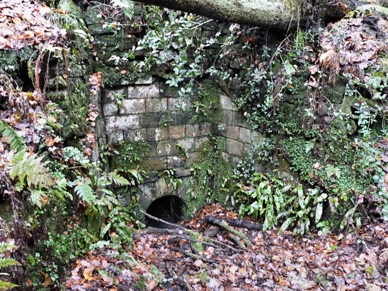 Culvert running under the substantial railway embankment
