Wednesday 7th November. – This month Norman Redhead, from the new Greater Manchester Archaeological Advisory Services, will be joining us to give us a talk on the Historic Landscape Characterisation project. This nationally commissioned initiative started in 2007 and ran for 4.5 years. It culminated in the production of a huge database which is controlled by a programme called a Graphic Information System. By linking historic, geographic and social records together with maps, both historical and modern, it can be used to display all kinds of useful information. Norman will be bringing the database with him on his laptop to demonstrate how it can be used. Of particular interest to us will be its use in identifying areas of archaeological sensitivity and how the historic character of these areas can be studied.
Monthly Archives: October 2012
Site at Glazebury
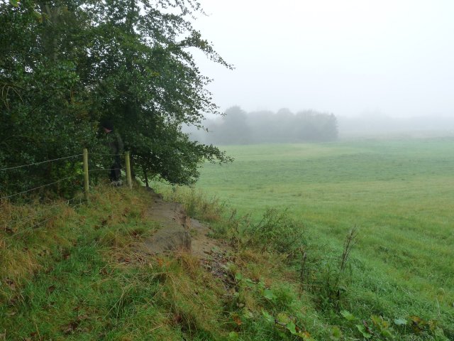
On a misty morning Last Sunday Andy Wilock and I visited a site on the edge of Chat Moss near Glazebury. We were invited there by Marlene Nolan of Culcheth History Society who had spotted the site while field walking. It seemed to her to be some kind of defensive earth work lying at a strategic point on the banks of the River Glaze. You may be wondering why she asked us to look at this site so far away from Wigan – but, surprising as it may seem, quite a lot of Chat Moss does lie within the Wigan Metro Borough.
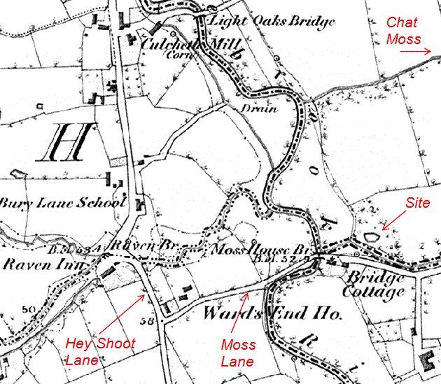
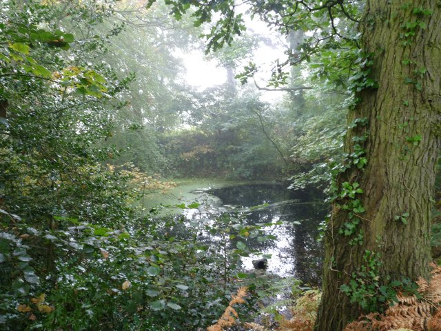
The site is located north of Moss Lane which branches off Hey Shoot Lane about 200m east of the River Glaze near the Raven Pub. It’s surrounded on three sides by a large bank with a ditch on the south side. The interior is flooded up to a point where a cut in the bank allows the water to escape. 
Judging from the maturity of the trees we perceive the site must be at least a 200 or 300 years old but a quick check on the 6″ OS map of 1846 gives no indication of its origin. The history of the area suggests a possible Civil War connection as apparently there was a large skirmish in the vicinity. Another slight possibility is that it could be much older as an Iron Age site had been discovered a few years ago only about one mile south of this one.
More likely however it’s the product of some pre-Victorian industrial activity such as sand, stone or clay extraction – a trench across the embankment may give the answer but whether we’d get permission is another thing.
Angers Trips
For those who missed our last meeting here is the talk I presented on our trips to our twin city in France (see tab)
